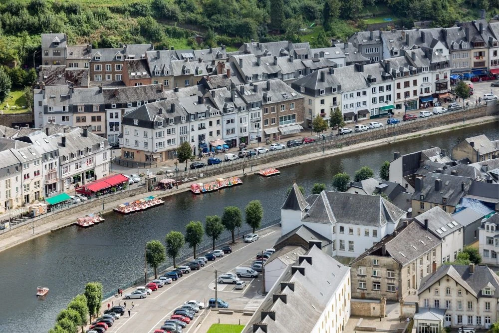
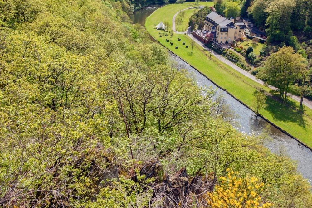
Rivers in Belgium play a significant role in shaping the country’s landscape and ecology. Belgium, located in Western Europe, shares its borders with France, Luxembourg, the Netherlands, Germany, and the North Sea.
Covering an expanse of 11,787 square miles, it boasts three primary geographical regions: the coastal lowlands with its dunes, the central plateau dotted with valleys and gorges, and the Ardennes, a rugged forested plateau.
Many of these areas are crisscrossed by rivers, enhancing the nation’s scenic beauty. This article provides a closer look at some of these vital waterways.
Rivers In Belgium Map
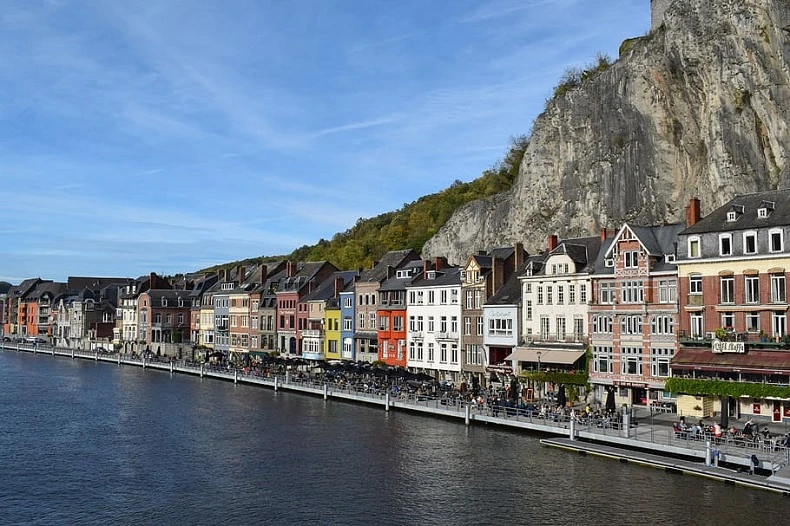
1) Meuse – A Crown Jewel among Rivers in Belgium
Length: 925 Km
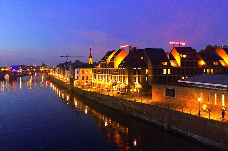
The Meuse, sometimes known as the Maas, is a large European river that flows through France, Belgium, and the Netherlands before draining into the North Sea via the Rhine-Meuse-Scheldt delta.
Overall, it is 925 kilometres (575 miles) long. On the Langres plateau of France, the Meuse rises at Pouilly-en-Bassigny, the commune of Le Châtelet-sur-Meuse. It then flows north past Sedan (the navigation head) and Charleville-Mézières into Belgium.
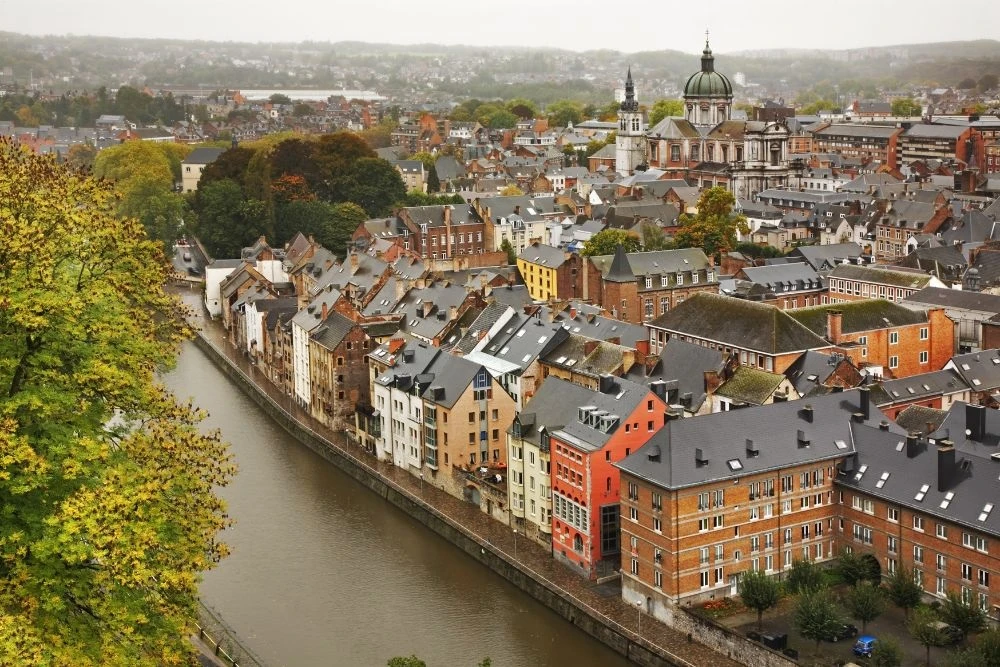
The Sambre joins it near Namur. Beyond Namur, the Meuse runs east, avoiding the Ardennes, passing through Liège, and then turning north. The Belgian-Dutch border then partially follows the river, however, Maastricht is further west than Maastricht.
In the Netherlands, it flows past Venlo, which is not far from the German border, before turning west and flowing parallel to the Waal. Together with the Scheldt to the south and the Rhine to the north, it forms the vast Rhine-Meuse-Scheldt delta.
The river splits into the Afgedamde Maas on the right and the Bergse Maas on the left close to Heusden. The Bergse Maas is carried on by Amer, a subset of De Bergse Maas.
The Bergse Maas is still known as Amer and is part of the municipality of De Biesbosch. The Afgedamde Maas flows as the Boven Merwede from Woudrichem to Hardinxveld-Giessendam, where it divides into the Nieuwe Merwede and the Beneden Merwede.
The Boven Merwede is the primary stem of the Rhine. The Hollands Diep is created where the Nieuwe Merwede joins the Amer close to Lage Zwaluwe and divides into Grevelingen and Haringvliet before draining into the North Sea.
2) Scheldt: Belgium’s Historic Waterway
Length: 360 km
The Scheldt River runs 360 kilometres (220 miles) through northern France, western Belgium, and the southwestern Netherlands before draining into the North Sea.
The source of the Scheldt is located in Gouy, in the Aisne region of northern France. It passes through Valenciennes and Cambrai before entering Belgium close to Tournai.
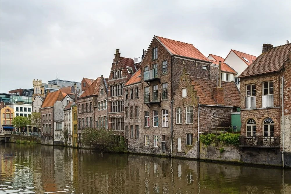
The Lys, one of its principal rivers, and the Scheldt, which flows east, are where Ghent was born. The greatest city on its banks, Antwerp, is located close to where the Scheldt runs west into the Netherlands and the North Sea.
There were two branches from there: the Oosterschelde (Eastern Scheldt) and the Westerschelde (Western Scheldt). To connect Zuid-Beveland to the mainland (North Brabant), the Dutch built a dyke in the nineteenth century that divides the river from its eastern (northern) branch.
Between Breskens in Zeelandic Flanders and Vlissingen (Flushing) on Walcheren, the river no longer runs into the North Sea; it now only empties into the Westerschelde estuary, passing through Terneuzen.
The Scheldt is an important river that has been made navigable from its mouth to Cambrai. Above Cambrai, the Canal de Saint-Quentin continues on its path.
The second-largest port in Europe, Antwerp, was built along its banks. The Scheldt is connected to the Rhine, Meuse, and Seine river basins, as well as the industrial regions of Brussels, Liège, Lille, Dunkirk, and Mons, by several canals, including the Albert Canal.
3) OISE: Linking Nations and Cultures
Length: 341 km
The Oise is a Belgian and French river that flows for 341 kilometers (212 miles) from its sources south of Chimay in the Belgian province of Hainaut. It enters France after traveling about 20 kilometers (12 miles).
At Conflans-Sainte-Honorine, a suburb of northwest Paris, it discharges into the Seine. Their principal tributary is the Aisne. The French departments of Oise and Val-d’Oise took their cue from it.
Over the years, the Oise has been a vital inland shipping river, linking the Seine (and consequently Paris) with the coastal regions of northern France, Belgium, and the Netherlands.
With the planned development of the Seine-Nord Europe Canal, a high-capacity water transportation route, the Oise will be connected at Janville, north of Compiègne, to the high-capacity Canal Dunkerque-Escaut, east of Arleux.
The former Canal de Saint-Quentin and the present Canal du Nord, both of which have significantly insufficient capacity, will be replaced by the Seine-Nord Europe Canal.
Large ships will be able to transport cargo from the Seine, and hence Paris and its surroundings, to the ports of Dunkirk, Antwerp, and Rotterdam once the new Seine-Nord connection is finished.
The overall project includes MAGEO (Mise au gabarit européen de l’Oise), a project to upgrade the river Oise between Creil and Compiègne. MAGEO was made available for public comment in 2013. Some curves must be rounded out, and some bridges must be raised, to make the inland waterway a class Vb.
4) SEMOIS: The Winding Wonder
Length: 210 km
The Semois is a river that runs from Belgium and France’s Ardennes uplands to the Meuse. The Semois has its beginnings in Arlon, Wallonia, a region of Belgium close to the Grand Duchy of Luxembourg.
It forms about 2 kilometers (1.2 miles) of the Belgian-French border as it runs generally westward and passes through the Belgian settlement of Bohan-sur-Semois before entering France. It merges with the Meuse 24 kilometers (15 miles) downstream in Monthermé. The river is 210 kilometers (130 mi) long overall.
The Belgian communities of Chiny, Florenville, Herbeumont, Bouillon (which includes the villages of Dohan and Poupehan), and Vresse-sur-Semois are also found on the banks of the Semois.
The 2nd century AD marks the first time the name SESMARA appeared in writing. That was before the region experienced a significant impact from Germanic immigration.
Medieval variants of the name include Sesomirs (664), Sesmarus (950), Sesmoys (1104), and Semoir (1244). The name of the river refers to a variety of local tobacco.
5) Lys: Belgium’s Blend of Beauty and History
Length: 202 km
Lys is the fifth longest river in Belgium, according to Toplist’s list of the ten longest rivers in the country. On the Scheldt’s left bank, the Lys or Leie is a river that flows through France and Belgium.
Its source is in the French Pas-de-Calais, and it empties into the Scheldt River in the Belgian city of Ghent. Total length is 202 km (126 mi).
Due to increased industrialization and population density in Northern France and Belgium, the river was once extremely polluted, but recent years have seen major improvements, in part because of the loss of the primary industry, flax spinning and weaving.
In the first half of the 20th century, several painters made the Leie region their favourite hangout. The Leie’s principal tributaries from source to mouth are the following: Laquette, Clarence, Lawe, Deûle, Gaverbeek, Heulebeek, and Mandel.
The German Army and the Allies engaged in three riverfront combat. The First Battle of the Lys, which took place as part of the German Spring Offensive, and the Second Battle of the Lys, which took place as part of the Allies’ Hundred Days Offensive later that year, both took place at this location during World War I.
The Battle of the Lys occurred during World War II as a part of the German invasion of Flanders in 1940 with an eye towards the English Channel.
6) Sambre: Belgium’s Strategic Water Thread
Length: 193 km
The Sambre is a river that traverses Wallonia in Belgium and northern France. It flows into the Meuse on the left bank near Namur, Wallonia, where it joins the Meuse.
In the département of Aisne, close to Le Nouvion-en-Thiérache, lie the headwaters of the Sambre. It passes through what was once a significant industrial area, the Franco-Belgian coal basin.
The start of the navigable route is at the Canal de la Sambre à l’Oise at Landrecies, which connects to the central French canal network (or did until 2006 when navigation was halted due to structural issues).
To reach the Belgian border at Jeumont, it travels 54 kilometers and has 9 locks that are each 38.50 meters long and 5.20 meters wide.
From the border, the river is canalized across a distance of 88 km with 17 locks in two separate phases. Down to the industrial town of Charleroi, the Haute-Sambre is 39 kilometers long and has ten locks of the same size as those in France.
The remainder of the Belgian Sambre was expanded to European Class IV size just after World War II. It is situated at the western end of the sillon industriel, the main industrial artery of Wallonia notwithstanding the end of all coal mining and the demise of the steel sector. The river drains into the Meuse at Namur, Belgium.
In France, the navigable waterway is managed by Voies Navigable de France, while in Belgium, it is managed by the Service Public Wallon – Direction générale opérationnelle de la Mobilité et des Voies hydrauliques.
7) RUR: Beyond Borders
Length: 177 km
The Rur, often known as the Roer, is a large river in Belgium, Germany, and the Netherlands. It flows into the Meuse on the right (eastern) bank and is known as the Maas in Dutch. Germany makes up almost 90% of the river’s course.
The Rur rises at a height of 660 metres (2,170 feet) in the High Fens of Belgium, close to the 696-meter (2,283-foot) Signal de Botrange. South of Monschau, it enters Germany through North Rhine-Westphalia.
It first passes across the northern Eifel Mountains. It travels 24 miles, or 39 kilometers, to reach the Rur Reservoir, the second-largest man-made lake in Germany.
After roughly 160 kilometres (99 mi), it enters the Netherlands, and after another 170 kilometres (110 mi), it empties into the Meuse River in the town of Roermond.
The Inde and the Wurm are two of the Rur’s principal tributaries. The towns along the Rur (Netherlands) include Monschau, Heimbach, Nideggen, Düren, Jülich, Linnich, Hückelhoven, Heinsberg, and Roermond (all in Germany).
In the 1960s and 1970s, tailings from various German coal mines severely contaminated the northern portion of the Rur. No fish or other living things could be found, and swimming in the river was risky. Parts of Roermond frequently experienced flooding from foam flakes.
Wastewater treatment in Germany and the Netherlands greatly improved when the mines were shut down. Only the river’s lower stretches are still contaminated.
More than 30 different fish species have returned to the river’s upper reaches because of how clean the water is. After a 125-year hiatus, salmon made a comeback to the Rur in 2004.
8) SAUER: Belgium’s Underrated Gem
Length: 173 km
A river called the Sauer or Sûre traverses Germany, Belgium, and Luxembourg. It has a length of 173 kilometres (107 miles), and it is a left tributary of the Moselle.
Southeast Belgium’s Ardennes region is the source of the Sauer River, which rises near Vaux-sur-Sûre and runs east before forming the boundary with Luxembourg close to Martelange. It forms the border between Belgium and Luxembourg and extends for 13 kilometers (8 miles) north of Martelange.
It empties into the Upper Sûre Lake, which was formed by the Esch-sur-Sûre Dam and gives the Luxembourgish community of Lac de la Haute-Sûre its (French) name, west of Esch-sur-Sûre.
The Sauer defines the border between Germany and Luxembourg for the final 50 kilometers (31 miles), crossing Echternach before draining into the Moselle in Wasserbillig. Ettelbruck and Diekirch come next. The rivers Wiltz, Alzette, White Ernz, Black Ernz, Our, and Prüm are tributaries.
9) OURTHE: Belgium’s Most Picturesque Rivers
Length: 166 km
The Ourthe is a river in the Wallonian Ardennes of Belgium that is 166 kilometers (103 miles) long. It is the Meuse River’s right tributary. The Ourthe is created by the union of the Ourthe Occidentale (Western Ourthe) and the Ourthe Orientale (Eastern Ourthe), which meet west of Houffalize.
The Libramont-Chevigny area in the Belgian province of Luxembourg is where the Ourthe Occidentale originates. The source of the Ourthe Orientale lies close to Gouvy, which is also in the Belgian province of Luxembourg and is not far from the Luxembourg border.
The Ourthe flows about north-west, then north-northeast after the two Ourthes meet at Lake Nisramont. It runs briefly across the Namur province close to Noiseux. Following its passage through the Durbuy Municipality, it empties into the Province of Liège.
In the city of Liège, it eventually empties into the Meuse River. The two major tributaries of the Ourthe are the Amblève and Vesdre. The towns along the Ourthe are Houffalize (Ourthe Orientale), La Roche-en-Ardenne, Hotton, Durbuy, Hamoir, and Esneux.
Useful Resources
Conclusion
So there you have it! a list of the rivers in Belgium, each with unique traits and attractions. Whether you love nature, history, or fishing, there is something for everyone to enjoy along Belgium’s gorgeous rivers.
Each river tells a story, flowing through ancient towns, lush forests, and rolling hillsides, offering a unique blend of natural beauty and cultural richness.
Whether you’re a local or a traveler, the rivers in Belgium promise an enriching experience, inviting everyone to explore, relax, and discover. Dive into the heart of Belgium by embarking on a journey along its stunning rivers, and you’ll surely come away with memories to cherish.
FAQs
Which river in Belgium is the longest, and how long is it?
The Meuse (Maas in Dutch) is the longest river flowing through Belgium. Originating in France and continuing through Belgium and the Netherlands before emptying into the North Sea, the entire length of the Meuse is about 925 kilometers (575 miles).
However, only a portion of this runs through Belgium. Within Belgium’s borders, the Meuse River covers a distance of approximately 183 kilometers (114 miles).
Are there any river cruises available for tourists in Belgium? If so, which rivers offer them?
Yes, river cruises are a popular tourist activity in Belgium, offering a unique perspective on the country’s picturesque landscapes, historic cities, and iconic landmarks.
Meuse (Maas): One of the most popular rivers for cruising, especially around the city of Namur and Dinant. The river provides scenic views of Belgium’s Ardennes region.
Scheldt (Schelde): This river flows through cities like Antwerp and Ghent. Cruises on the Scheldt often showcase Belgium’s rich history and impressive architecture.
Lys (Leie): Especially popular around the city of Ghent, cruises on the Lys offer views of beautiful countryside, historic towns, and renowned artworks.
Canal tours: Besides river cruises, Belgium offers canal tours, especially in cities like Bruges and Ghent. These canal tours provide a different perspective, focusing on the inner parts of cities and their historic buildings.
Can you swim in the rivers in Belgium? Are there designated swimming areas?
Swimming in rivers in Belgium is possible, but there are certain things to consider:
Water Quality is an important thing to consider as the water quality may vary depending on the region, time of year and environment of the rivers. Not all rivers have water that is safe for swimming.
Designated Swimming Areas: There are designated swimming zones in some rivers where swimming is both safe and permitted.
Safety: Even in designated areas, swimmers should be aware of potential dangers like currents, cold water temperatures, or boat traffic. It’s advisable to always follow local safety guidelines.